


Voting District 0370840000001, Clinton County, Michigan
About
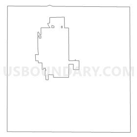
Outline
Summary
| Unique Area Identifier | 596271 |
| Name | Voting District 0370840000001 |
| County | Clinton County |
| State | Michigan |
| Area (square miles) | 32.41 |
| Land Area (square miles) | 32.39 |
| Water Area (square miles) | 0.02 |
| % of Land Area | 99.94 |
| % of Water Area | 0.06 |
| Latitude of the Internal Point | 42.97898490 |
| Longtitude of the Internal Point | -84.53635150 |
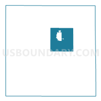
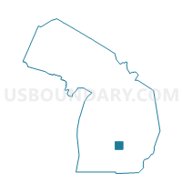
Maps

Graphs
Select a template below for downloading or customizing gragh for Voting District 0370840000001, Clinton County, Michigan


Neighbors
Neighoring Voting District (by Name) Neighboring Voting District on the Map
- Voting District 0370724000001, Clinton County, MI
- Voting District 0372346000001, Clinton County, MI
- Voting District 0372640000001, Clinton County, MI
- Voting District 0373484000001, Clinton County, MI
- Voting District 0376044000001, Clinton County, MI
- Voting District 0376188000001, Clinton County, MI
- Voting District 0376860000001, Clinton County, MI
- Voting District 0377094000001, Clinton County, MI
- Voting District 0377094000002, Clinton County, MI
- Voting District 0377094000003, Clinton County, MI
- Voting District 0378232000001, Clinton County, MI
Top 10 Neighboring County Subdivision (by Population) Neighboring County Subdivision on the Map
- St. Johns city, Clinton County, MI (7,865)
- Ovid township, Clinton County, MI (3,795)
- Victor township, Clinton County, MI (3,460)
- Bingham township, Clinton County, MI (2,859)
- Olive township, Clinton County, MI (2,476)
- Duplain township, Clinton County, MI (2,363)
- Greenbush township, Clinton County, MI (2,199)
- Riley township, Clinton County, MI (2,024)
- Essex township, Clinton County, MI (1,910)
- Bengal township, Clinton County, MI (1,188)
Top 10 Neighboring Place (by Population) Neighboring Place on the Map
Top 10 Neighboring Unified School District (by Population) Neighboring Unified School District on the Map
Top 10 Neighboring State Legislative District Lower Chamber (by Population) Neighboring State Legislative District Lower Chamber on the Map
Top 10 Neighboring State Legislative District Upper Chamber (by Population) Neighboring State Legislative District Upper Chamber on the Map
Top 10 Neighboring 111th Congressional District (by Population) Neighboring 111th Congressional District on the Map
Top 10 Neighboring Census Tract (by Population) Neighboring Census Tract on the Map
- Census Tract 109.02, Clinton County, MI (4,500)
- Census Tract 108.01, Clinton County, MI (4,016)
- Census Tract 108.02, Clinton County, MI (3,811)
- Census Tract 110.01, Clinton County, MI (3,795)
- Census Tract 105, Clinton County, MI (3,557)
- Census Tract 110.02, Clinton County, MI (3,460)
- Census Tract 109.01, Clinton County, MI (2,897)
- Census Tract 106, Clinton County, MI (2,515)
- Census Tract 107.02, Clinton County, MI (2,363)
- Census Tract 107.01, Clinton County, MI (2,199)